 PHLEGER ESTATE & HUDDART PARK LOOP
Leader: Ron Gasparinetti
Leader Email: sfbahiker@gmail.com
Leader Phone: 650 759-5345
Meeting Location (ONLY IF you've arranged for a ride in SF): Whole Foods;
2001 Market St. @ Dolores (on the Dolores St. side); parking on the street or below.
Meeting Time: 9:00 AM
Departure Time: 9:15 AM
Rating Level-4
Mileage: 11 miles
Elevation Gain: 1800'
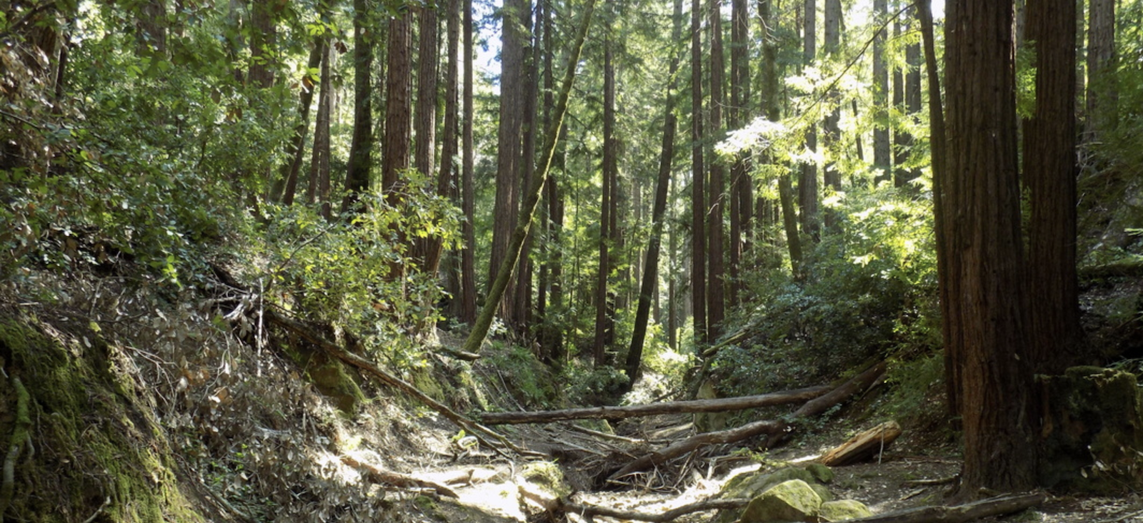
Description: Nestled in the Santa Cruz Mountains adjacent to the town of Woodside, the Phleger Estate (the Golden Gate National Recreation Area’s southernmost section) and adjoining Huddart Park are primeval paradises. Amid the majestic groves of coastal redwoods and Douglas fir are forests of tanoak, madrone, and bay. Higher up Kings Mountain, east of Purisima Creek Redwoods are sunny chaparral areas with manzanita, chamise, and chaparral pea. This is a pleasant and (hopefully peaceful) hike. Both the ascent and descent are gradual. Starting from Skyline Blvd. we'll jump onto the Archery Fire Road for a tiny little bit to get us to the Chinquapin Trail. Following that down hill, we'll meet up with the Dean Trail which will take us into the center of Huddart Park and then onto Campground Trail to connect with Crystal Springs Trail. This route will hopefully avoid crowds from the many picnic areas. Richards Road will join us to Miramontes Trail after which we'll pick up the Mount Redondo Trail and finally the beautiful Lonely Trail and a gradual climb back up to our starting point.
PLEASE LET ME KNOW IF YOU NEED A RIDE AND/OR CAN TAKE A PASSENGER, AND WHAT YOUR COMFORT LEVEL IS REGARDING PASSENGERS.
Bring / Wear: Please bring at least 2 liters of water, lunch, snacks, sunscreen, sturdy hiking shoes, bug spray, hiking poles if you like for a couple of steep downhills.
Weather Policy: Canceled in the event of heavy rain.
Alternate Meeting Place: Take 280 south, exit 92 west towards Half Moon Bay. At the crest of the hill, take a left onto Skyline Blvd (35). Stay on Skyline for about 9.5 miles. Look for the South Parking Lot of Purisima Creek Redwoods. If you see Kings Mountain Rd. on your left you've gone too far.
Google Maps Link
Alternate Meeting Time: 10:00 AM
Alternate Meeting Departure Time: 10:15 AM
Total driving distance, there and back: 66 miles.
Passenger Carpool Fees: $8
Level-1
|
Level-2
|
Level-3 |
Level-4 |
Level-5 |
|
easiest
< 5 miles
< 500' gain
|
moderately easy
5-7 miles
< 1000' gain |
moderate
7-9 miles
< 1500' gain
|
strenuous
9-12 miles
< 2000' gain
|
very strenuous
12-15+ miles
>2000' gain |
